
Since June 2001, the government has supported a dual naming policy for geographical features and cultural sites. The policy aims to give prominence to Aboriginal place names alongside European counterparts.
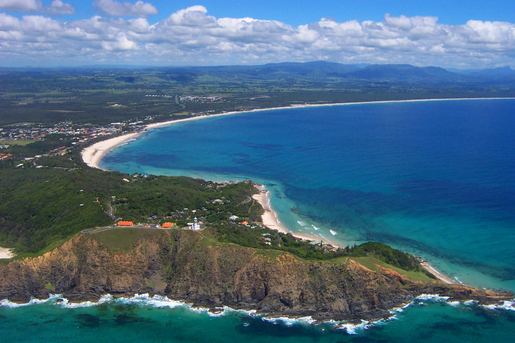
Walgun / Cape Byron – the most easterly point on mainland Australia. Walgun means shoulder in the Bundjalung language, and the Walgun/Cape Byron area represents a place of spiritual and cultural significance, with the area used for important gatherings and ceremonial practices.

Nguthungulli / Julian Rocks – the two small islands, situated approximately 2.5 kilometres off the coast of Byron Bay. Nguthungulli/Julian Rocks is a significant and sacred Aboriginal site associated with a number of Dreaming stories of the Bundjalung of Byron Bay (Arakwal) people and the wider Bundjalung. Among the Bundjalung of Byron Bay (Arakwal) people, the traditional name Nguthungulli is used to refer to the Father of the World.
Piccabeen / Weir Park – in Bangalow. Piccabeen is the indigenous name for the Bangalow Palm tree and the baskets made from its fronds.
NSW is home to more than 30 Aboriginal languages. Through place naming, communities can unlock stories and provide a sense of belonging and identity.
In NSW, the Geographical Names Board (GNB) is the authority for naming features such as mountains, bays and rivers along with suburbs, railway stations and other places and sites. Local councils look after naming infrastructure such as bridges and roads.
When the GNB assigns a name, it becomes the officially recognised place name. This means the name is published on maps and made available for the community to use.

Comment (0)